Search Term Record
Metadata
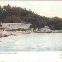
Name |
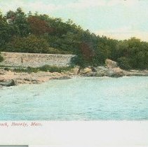
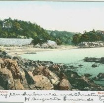
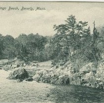
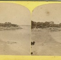
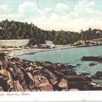
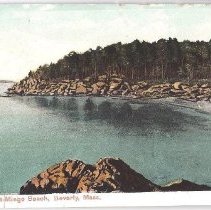
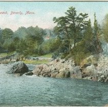
Mingo Beach |
Related Records
-
-
-
-
-
-
-
-
-
-
-
-
-
-
-
-
-
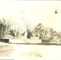
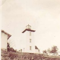
997.12 - Album, Autograph
A green hardcover autograph album that contains a history project compiled by Betty Enos on April 30, 1937. This project was given the title, Familiar Spots of Historic Interest in Beverly. There are black and white photographs of certain locations in the community accompanied by a description. These include: the Lighthouse at Hospital Point, Paul's Head, the William Haskell House, the Second Congregational Church in North Beverly, the tablet...
Record Type: Object
-
-
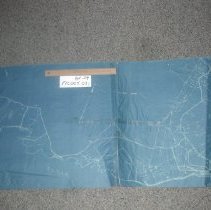
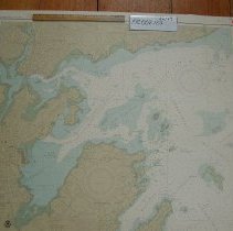
FIC002.123 - map
Provisional Chart of the United States - East Coast Massachusetts, Salem, Marblehead and Beverly Harbors created in 1984.
Record Type: Archive
-