Search Term Record
Metadata
Name |
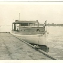
Tuck's Point |
Related Records
-
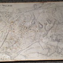
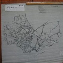
008.049.001 - Map
A map of Beverly Village drawn about 1848 from the office of the City Engineer. Topographic information, water depth and the location of structures and wharves are provided. The Eastern Railroad and bridge are also present. Beverly Creek, Porter's Rock, Tuck's Point, Mackerel Cove, Hospital Point Light, Woodberry's Point, Mingo's Brach and Curtis Point are all identified.
Record Type: Archive
-
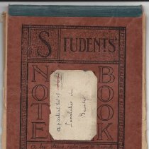
3695 - Notebook
1895 notebook from A. A. Galloupe, entitled "A few items relating to Beverly". He begins with Cabot Street and continues through many city streets and the houses and businesses on them. There is a typescript of a more detailed list which is kept at this date (2014) in the research room at Cabot house.
Record Type: Archive
-
-
-
-
-
-
-
-
-
-
-
-
-
-
-
-
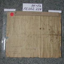
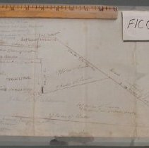
FIC002.224 - Map
A very early map showing roads and points of interest, longitude, latitude
Record Type: Archive